Atlanta now is proposing to reroute traffic west of the Falcons stadium from Martin Luther King Jr. Drive to a two-lane street that has curbside parking.
The Parsons Brinckerfhoff engineering firm designed this solution to the closure of the MLK viaduct. The proposal would create a “seamless” MLK Drive corridor, Richard Mendoza, the city’s public works commissioner, said Wednesday during a work session convened by the Atlanta City Council’s Utilities Committee.
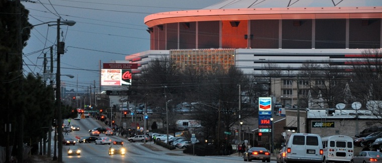
MLK Drive once was a contiguous road that extended a dozen miles from Oakland Cemetery through Downtown Atlanta to the Chattahoochee River. After the road crosses into Cobb County, it becomes Mableton Parkway.
This month, MLK Drive was severed near the stadium. Now the question is how to reconnect a heavily traveled east-west connector. Mayor Kasim Reed has said he envisions MLK Drive as a European-style grand boulevard.
The plan Mendoza released was dated Jan. 10 and bears three logos – PB, the Falcons, and Atlanta.
On Jan. 28, Hans Utz, Reed’s deputy COO, told the Utilities Committee that the street layout was still being determined:
The PB proposal uses two existing residential streets to handle traffic vehicles that have used MLK Drive west of Northside Drive, Tatnall and Mitchell streets. The distance vehicles would travel along this diversion appears to be about a third of a mile.
Existing curbside parking would be eliminated to create room for a third travel lane.
The portion of Mitchell Street directly south of the Falcons stadium is renamed “New Martin Luther King Blvd.” on the PB map, which was provided by the Department of Public Works.
Here’s the PB proposal for vehicles traveling MLK Drive from the west:
The PB proposal for vehicles traveling east from the business district does not show a traffic pattern east of the proposed stadium. Presumably, vehicles will:
Incidentally, maps have become the coin of the realm in some stadium discussions.
Debates unfold over which maps are the most recent; which maps are sanctioned by the Falcons or Atlanta or the Georgia World Congress Center Authority; even the scope of maps – how large of the stadium’s impact area do they represent.
One of the more prolific cartographers in this conversation is Mike Dobbins, a former Atlanta planning commissioner who now teaches at Georgia Tech.
Dobbins draws maps on whatever material is at hand – napkins, scrap paper, the border of pages of other maps.
The Tech students he’s overseen have created highly detailed maps that address issues ranging from transportation to environment as they have studied the stadium neighborhoods in particular, as well as the Northside Drive corridor from I-75 in the north to I-20 in the south.